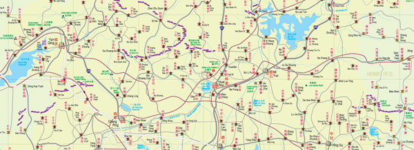
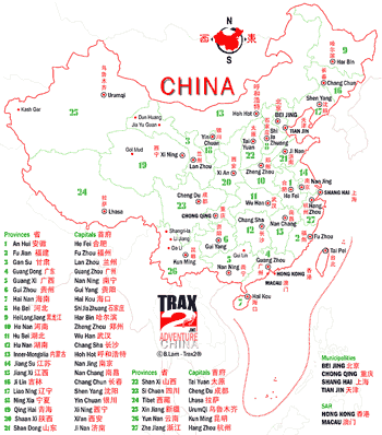
The Great wall of China is it 8,850 km (5,500 miles) or 21,196.18 km (13,170.69 miles) long? As the latest measurements published by the Chinese government has found. You can see for yourself with this Great Wall of China map.
Started in 500 BC the Great Wall was first linked up under the leader Qin Shi Huang in about 220 BC to protect China’s northern border and fend off foreign invaders.?Today the great?wall passes through 15 provinces and?over the centuries has been?reinforced and extended many times during?China’s dynasties.
My first encounter with the Great Wall was with this Great Wall of China map that I drew up straight after visiting the actual great wall from Beijing in the northern winter of 1982-83?and which I later turned it into this award winning and?the best Great Wall of China map around the Beijing area
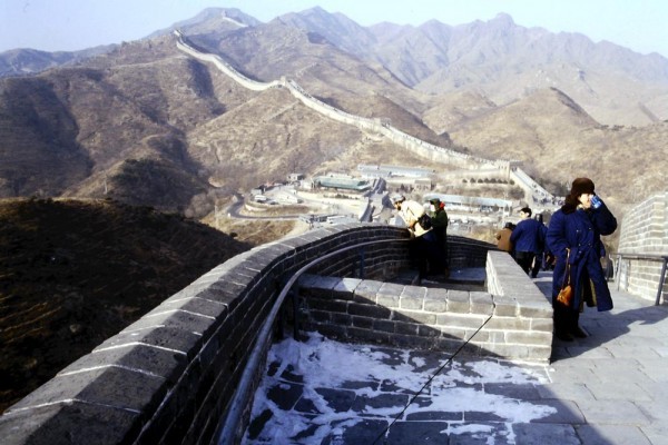
In 1982 China was just beginning to open up and here at BaDaLing the building and development had just began, if you have stood here recently then you will know how much has changed.

A close up of how BaDaLing was in 1982
Further up the BaDaLing great wall a self portrait in 1982 and another self portrait in Thredbo, New South Wales Australia beside another wall in the same “get-up” in 1989. If you are not sure where Thredbo, NSW is than see here for directions.


