The Trax2 Charles Darwin National Park Lookout and Map are now available to download and use on all your devices
Where is Charles Darwin national park, you may ask, well download these emaps of Darwin and you will never get lost in Darwin again.
Like more information on Darwin’s Top End!
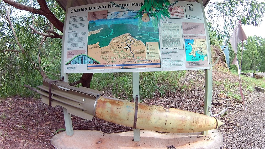
The Charles Darwin national park is essentially an inner city park with great mountain bike tracks, walking tracks and park trails and has the best view of the Darwin skyline at the Charles Darwin National Park Lookout point. Note that many of the walking and cycling tracks throughout the park can be traced to their origins in WW2.

Along with a well maintained picnic area and free BBQs it is a good place to visit and use.
Although not large compared to Kakadu or Litchfield national parks, it is a very important part of the areas wetland and woodland systems for the Port Darwin, which forms a large and diverse wetland area with 36 of Northern Territory’s 51 mangrove species living in its system of inlets, islands and bays.
As with most of Darwin, the area was part of the defense preparations and facilities during World War 11, with a lot of? the WW2 ammunition bunkers built into the hillside and to this day are still present. And so 1 of the bunkers have been turned into a FREE display of WW11 photo’s and information, opened to the public from 8am to 5pm daily.
Not sure how to get to the Charles Darwin National Park Lookout by car travel along Tiger Brennan Drive. Entry is at Winnellie, opposite Bowen Road. Then follow the one-way road signs in the park.
The park is only 5.5km from the city and an easy ride for cyclists.
When you get there, the lookout platform has sweeping views of Darwin’s ever developing skyline.
Lookout for the many historic sites which are scattered through the park.
Shell middens in the park also suggest the Larrakia people have used this land for many thousands of years.
And remember to wear protective clothing and apply insect repellent.


