Gibb River Road Video and Gibb River Road Pictures with the Gibb River Road map
More Gibb River Road pictures below
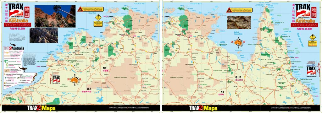
The Gibb River Road Map is just a smaller area covered in the award winning Trax2 bilingual designed Broome to Cairns set of maps
Not sure how to get to the Gibb River then Trax2 has the solution with award winning designed maps that go further than any other maps, digital maps that can be printed in high resolution and folds into your pocket or save to any or all your devices from mobile to tablet to laptop to desktop.
Now all you need to a 4WD, but to be honest you don’t need a 4WD to drive the Gibb River Road during the dry season (June-Sep) any well prepared vehicle will do if you keep to the dry tracks.
The year that we drove through it was an exceptional dry season with most of the gorges and waterfalls all drying up.
What you can visit and see are Lennard Gorge and Bell Gorge, Tunnel Creek, Dimond Gorge and Sir John Gorge, the Pentecost River and Ord River, Galvans Gorge, Manning Gorge and Manning Falls.
If you’ll like me, you can skip the heavily promoted El Questro, but if you must get there early for some hiking into the gorge and you might save the $20 “entrance fee” (they don’t call it that). It is on private property so I guess they can change what they like! My first impression on arriving was just how commercial it was turned too
One little secret is at Mt Barnett Roadhouse you can get drinking water straight from the tap in the little garden opposite the roadhouse, this is where all the tour operators fill up their water.
All in all having driven the Gibb River Road I think is very over rated and expensive when compared to the West (Standley Chasm)? and East MacDonnell Range around the Alice Springs area in Northern Territory or the Flinders Rangers around Arkaroola in South Australia
But you can compare Gibb River Road pictures to the West & East MacDonnell Range here…


